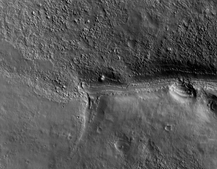
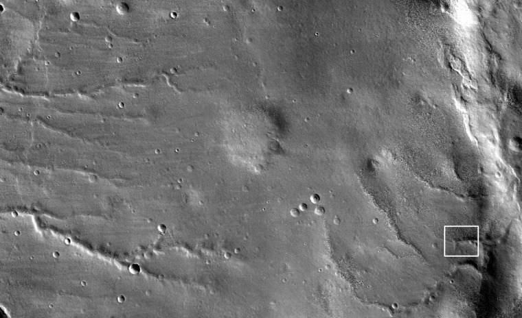
NASA’s new red planet probe, the Mars Reconnaissance Orbiter, has relayed spectacular test images using its super-powerful camera.
Scientists and engineers are pleased with initial imagery of Mars returned by MRO’s High Resolution Imaging Experiment (HiRISE) camera, which scientists have called the most powerful camera ever sent to red planet.
“The quality of the images is fantastic!” HiRISE principal investigator Alfred McEwen, of the University of Arizona, told SPACE.com. “This demonstrates that both the HiRISE camera and the spacecraft pointing performed superbly.”
After the test shots using HiRISE wrap up on Saturday, the camera will be turned off while the spacecraft “aerobrakes” — a technique whereby the orbiter repeatedly dips into the upper atmosphere more than five hundred times to scrub off speed. By doing so, the spacecraft will drop into successively more circular orbits.
The the Mars Reconnaissance Orbiter launched on Aug. 12 of last year. It reached Mars and began orbiting the red planet on March 10.
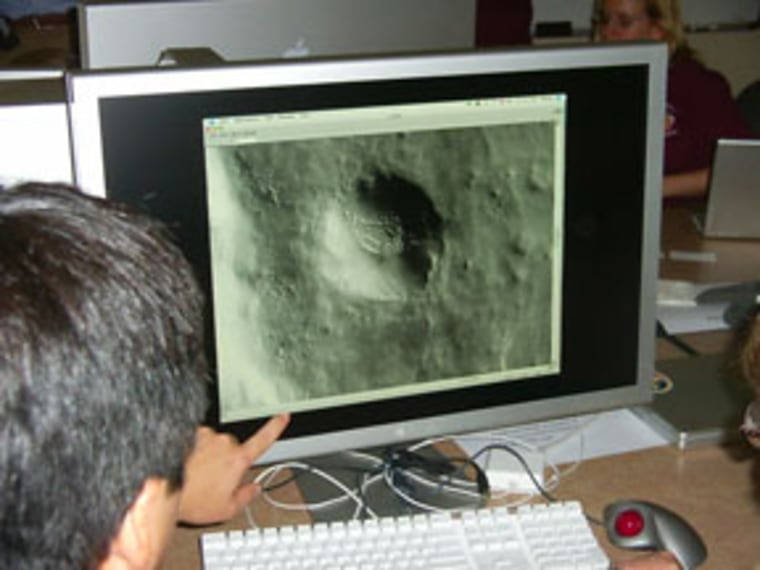
“People have been saying ‘oooh’ and ‘ahhh’ a lot while examining the first images,” said Loretta McKibben, a spokeswoman for the HiRISE operations at the University of Arizona in Tucson.

The orbiter is hauling an array of science instruments, including a radar device designed to probe the subsurface of Mars for layers of ice, rock and, perhaps, liquid water that might be accessible from the surface.
The spacecraft is on a quest to find supportive evidence that water persisted on the surface of Mars for a long period of time. While other Mars missions have shown that water flowed across the surface in Mars’ history, it remains a mystery whether water was ever around long enough to provide a habitat for life.
Equally happy about HiRISE early images is Jim Graf, project Manager for the Mars Reconnaissance Orbiter at NASA’s Jet Propulsion Laboratory in Pasadena, Calif.
Earlier, Graf told SPACE.com that other orbiter instrumentation will undergo checkout too.
These are the Context Camera that provides wide area views of Mars terrain to help scientists appreciate the context for close-up photos, as well as a trial-run of the Mars Color Imager — a weather camera that eyes clouds and dust storms.
Third time's the charm
Another key instrument on MRO is to be turned on later today — the Mars Climate Sounder. Getting this instrument to the red planet has been tough-going.

The device flew on the ill-fated Mars Observer that was lost just before Mars arrival in August 1993. Then it was onboard the metric-challenged mission of the Mars Climate Orbiter that was lost in September 1999 when one engineering team thought metric while another figured in English units.
Daniel McCleese, a scientist at JPL, is the principal investigator for the Mars Climate Sounder. He told SPACE.com that the device will be powered on this evening as the orbiter is near apoapsis — that’s the farthest the spacecraft now swings by Mars.
At that time, a brief period of taking test data with the Mars Climate Sounder is slated. The device will be turned off as the orbiter nears periapsis — a part of its orbit that brings the probe closest to the red planet early Saturday, McCleese explained.
Checkouts and calibrations
The orbiter is also flying the Compact Reconnaissance Imaging Spectrometer for Mars, or CRISM for shot. The instrument is another high-tech detective that will help seek traces of past water on the Martian surface.
It isn’t grabbing images yet, as its cover is still on. But the testing has gone well, advised Michael Buckley, a spokesman at the Applied Physics Laboratory of Johns Hopkins University.
The APL-led team conducted three successful checkouts of the instrument during the cruise to Mars. According to APL’s Scott Murchie, the principal investigator for the Compact Reconnaissance Imaging Spectromet, the device is working very well.
This summer, the CRISM team will continue planning for the next round of spacecraft checkouts and instrument calibrations — which begin when MRO’s aerobraking phase ends in September — and refining the software it will use to operate the instrument and collect data.
“In fact, we expect the first data – images -- in mid-September, when the cover is opened,” Buckley told SPACE.com.
Following several months of aerobraking to achieve a circular, polar orbit, the Mars Reconnaissance Orbiter will begin its primary mission starting in November 2006 and run through November 2008. The primary mission is followed by a communications relay phase, currently planned to run through December 2010.
