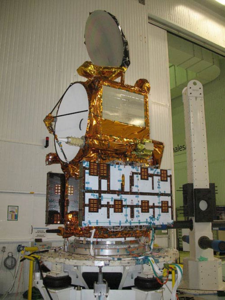
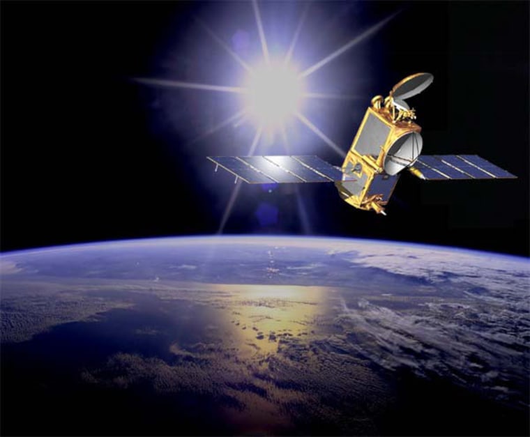
NASA and France are preparing to launch a new satellite next month to map Earth's rising sea levels and study their link to global climate change.
The Jason 2 spacecraft is set to lift off atop a Delta 2 rocket on June 15 from Vandenberg Air Force in California on a joint mission to study the Earth's oceans and their currents.
"Globally, on average, sea levels are rising," said Steven Neek of NASA's Science Mission Directorate at NASA's Washington, D.C., headquarters, in a Tuesday briefing. "This is a complex phenomenon which we need to understand better through flying new spacecraft."
Since 1993, global sea levels have risen about 0.12 inches (3 millimeters) per year, or about twice the expected rate based on tide records from the past century, NASA officials said. Natural and human-made causes are responsible for the shift, Neek said.
Jason 2's Ocean Surface Topography Mission is a joint NASA-French Space Agency effort and the third in a series of satellites to track global sea levels for climate studies. The spacecraft's immediate predecessor, Jason 1, launched in 2001 and is still operating today. Another U.S.-French satellite, TOPEX/Poseidon, launched in 1992 and scanned Earth's oceans for 13 years.

"OSTM/Jason 2 will help create the first multi-decadal global record for understanding the vital roles of the ocean in climate change," said Lee-Lueng Fu, the mission's project scientist at NASA's Jet Propulsion Laboratory in Pasadena, Calif., in a statement.
The new $433 million spacecraft is expected to orbit in tandem with Jason 1 some 830 miles (1,336 km) above Earth and double the amount of monitoring coverage of Earth's oceans, mission managers said.
The satellite uses ocean altimetry and other tools to measure the height of the sea surface with an accuracy of within 1.3 inches (3.3 cm). The readings are also expected to yield information on the speed and direction of ocean currents, and serve as an indicator of the amount of heat in the water that can affect climate change, mission researchers said.
In addition to NASA and the French Space Agency, the Jason 2 mission also includes participants at the National Oceanic and Atmospheric Administration and the 20-nation weather satellite organization EUMETSAT. Researchers hope that by tying Jason 2 data into the international forecasting agencies, it will aid future predictions of ocean circulation fluctuations, weather patterns and climate change.
"People in coastal areas will benefit from improved near-real-time data on ocean conditions, while people everywhere will benefit from better seasonal predictions resulting from the increased understanding of Earth system processes enabled by these measurements," said Michael Freilich, director of the Earth Science Division of NASA's science directorate.
