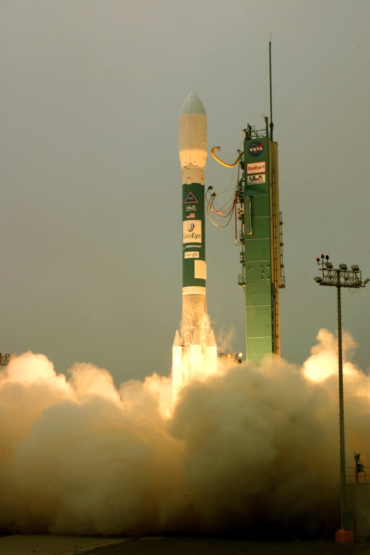
A super-sharp Earth-imaging satellite has been launched into orbit from Vandenberg Air Force Base on the Central California coast.
A Delta 2 rocket carrying the GeoEye-1 satellite lifted off at 11:50 a.m. Saturday. Video on the GeoEye Web site showed the satellite separating from the rocket moments later on its way to an eventual polar orbit.
Arizona-based General Dynamics Advanced Information Systems, the satellite makers, say GeoEye-1 cost more than $500 million to build and launch.
The satellite will orbit 423 miles (680 kilometers) up and circle the Earth more than a dozen times a day. In a single day, it can collect color images of an area the size of New Mexico, or a black-and-white image the size of Texas.
In black-and-white mode, the satellite can distinguish objects on the Earth's surface as small as 16 inches (40 centimeters), GeoEye Inc. said.
The company says the satellite's imaging services will be sold for uses that could range from environmental mapping to agriculture and defense.
