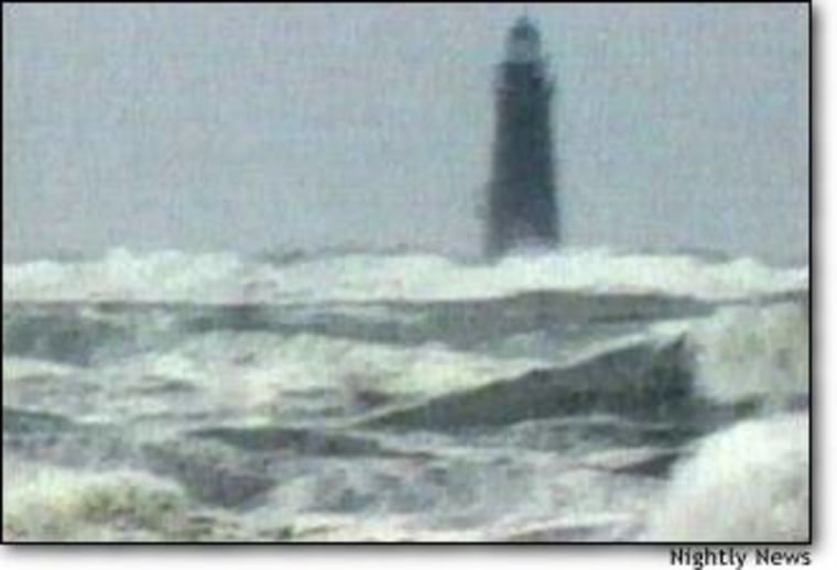
The weather forecasters in Washington and Boston grew increasingly worried that October weekend in 1991 as an unusual set of conditions brought together the ingredients for a massive and dangerous storm. Cold, dry air sweeping out of Canada met a low-pressure system along the coast and began to intensify into a storm. Then the remains of dying Hurricane Grace arrived, throwing massive energy into the mix that National Weather Service meteorologist Bob Case was to name “The Perfect Storm.”
IT WAS “like throwing gasoline on a fire,” Case said Thursday, describing the development of the storm that became the focus of Sebastian Junger’s best-selling book and now the movie by the same name, which opens Friday.
“The book is an excellent account of the event that occurred at the end of October, 1991,” said D. James Baker, head of the National Oceanic and Atmospheric Administration.
Now retired, Case recalled working in the Boston weather forecast office during that storm, trying to convince people that the unusual and powerful storm was a threat.
The three weather elements met out to sea, grew in power and began moving back toward the coast — not the way dangerous storms usually work in that area.
The powerful nor’easters that New Englanders fear usually arrive from the south, and fishermen and others looking to the skies in that direction saw clear air, Case explained. They don’t expect a storm coming from the east, a circumstance that caught many fishing boats at sea, including the Andrea Gail, which is the focus of the book and film.
The warnings had begun early, though, days before the storm struck, recalled Louis Uccelini, now head of the National Center for Environmental Prediction.
A winter storm specialist, at the time he was directing forecasting at the Weather Service’s center in Suitland, Md., and began advising local offices in new England three days before the storm hit.
Joe Sienkiewicz, a high-seas forecaster then and now, recalled computer models predicting a “significant event.” He issued warnings to mariners of a “dangerous storm,” the highest category of alert.
That was a time, in the late 1980s and early 1990s when computer models were “really taking off and the forecasters would believe them,” commented Uccelini.
Models take collections of thousands of observations of current weather conditions, feed them into complex formulas of how weather changes and compute what conditions should be like a few minutes in the future. Then they use those conditions to do it again, working out to hours and days ahead in hundreds of tiny steps. As more and more observations become available and the formulas are continually improved the forecasts get better and better.
“It was an unprecedented set of circumstances,” Case said of the perfect storm. “A strong disturbance associated with a cold front moved along the U.S.-Canadian border on October 27 and passed through New England pretty much without incident.
“At the same time, a huge high pressure system was forecast to build over southeast Canada. When a low pressure system along the front moved into the Maritimes southeast of Nova Scotia, it began to intensify due to the cold dry air introduced from the north,” he explained.
“These circumstances alone could have created a strong storm,” Case said. “But then, like throwing gasoline on a fire, a dying Hurricane Grace delivered immeasurable tropical energy to create the perfect storm.”
When all three factors came together the storm exploded to epic proportions and then headed toward the coast, he said.
