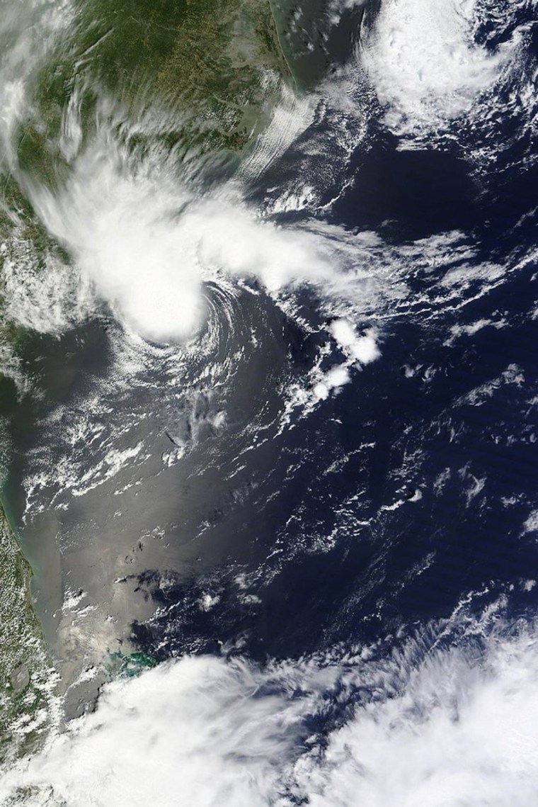
A tropical storm watch was issued for the South Carolina coast after Alberto formed on Saturday, bringing an early start to the Atlantic hurricane season.
Tropical Storm Alberto had maximum sustained winds at 50 mph. At 11 p.m. EDT, Alberto was centered about 110 miles south of Charleston and 155 miles east of Savannah, forecasters at the U.S. National Hurricane Center said. It was moving southwest at about 6 mph.
An earlier report from a ship near the storm's center had put maximum sustained winds at 60 mph, the Hurricane Center said.
A tropical storm watch was in effect from the Savannah River south to the South Santee River. The Hurricane Center advised people on the coast from Georgia to North Carolina's Outer Banks to monitor Alberto's progress.
Alberto had been forecast to make a slow loop during the next few days and then turn northeast, making its way along the U.S. mid-Atlantic seaboard before dissipating in about five days.
"A slow southwestward motion is expected to continue through Sunday," the Hurricane Center stated. "A turn toward the west-northeast and then toward the north and northeast is expected by Monday."
"Some strengthening is possible over the next day or so," it added.
The season officially runs from June 1 to Nov. 30, but storms outside that time frame are not uncommon.
