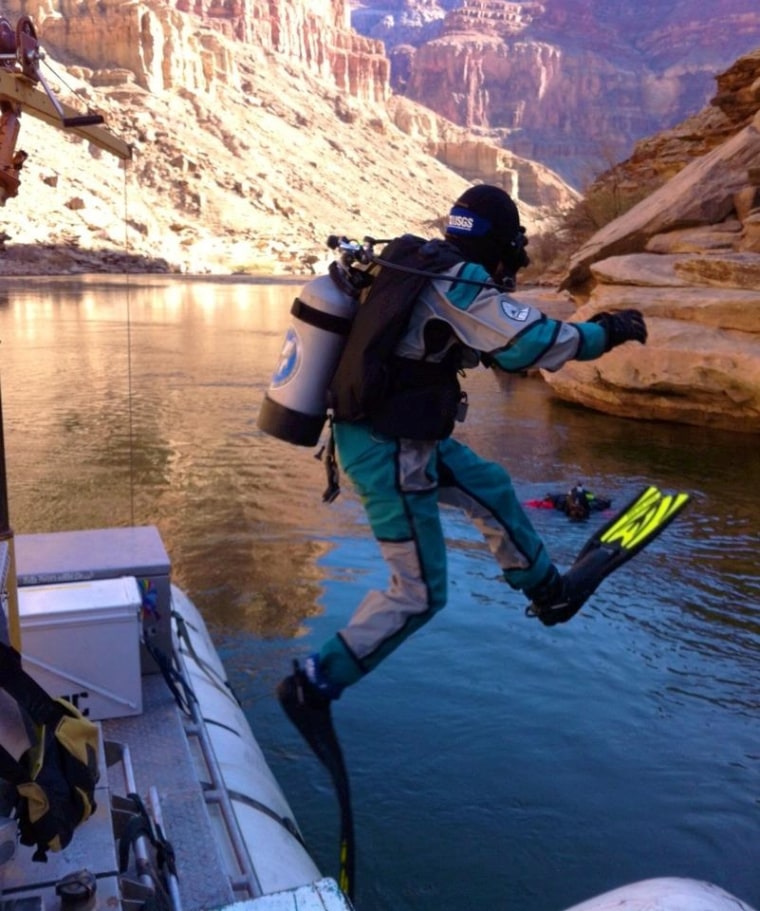
Sandy beaches have reappeared more than 100 miles (160 kilometers) downstream of Glen Canyon Dam, an early measure of success for a massive flood last week designed to rebuild habitat along the Colorado River in the iconic Grand Canyon.
However, it will be weeks before scientists know whether the six days of high flows realized the Department of the Interior's goals of moving more than 500,000 metric tons of sediment down the canyon.
"Surely there are new white sandbars in a lot of places, but what we have learned from doing this in the past is that the devil is in the details," said Jack Schmidt, chief of the U.S. Geological Survey's Grand Canyon Monitoring Center. Test floods in 1996, 2004 and 2008 had some unintended consequences, such as increasing the population of predatory non-native trout.
Initial tests
The department ordered the flood, released in a gush from the Glen Canyon Dam starting Nov. 19, to help create beaches and back eddies for campers, rafters and native fish. Since the dam was built in 1966, the only sediment sources for the Grand Canyon are the naturally flowing Little Colorado and Paria rivers, which feed into the Colorado River below the dam. A popular tourist destination, the canyon's beaches and wildlife depend on sand and mud carried by the Colorado River.
USGS researchers spent the Thanksgiving holiday camped along the river monitoring the flood, Schmidt said. Their samples will help determine if the floodwaters actually moved suspended sediment downriver, among other tests, he said.
A group from the National Park Service and the USGS left Monday to float downriver and download before-and-after images from cameras mounted in the canyon and collect additional samples. A preliminary report on the flood's aftermath will be presented at a stakeholders meeting in January 2013. [Related: The Grand Canyon in Pictures ]
"Now starts the hard work of figuring out and understanding the nature of the process that went on during the flood and the environmental impact of the flood," Schmidt told OurAmazingPlanet.
First new beaches
National Park staff at Phantom Ranch, a Colorado River crossing with cabins and a campground more than 100 miles (160 km) downstream of the dam, reported new sand at two nearby beaches, said Jan Balsom, deputy chief of science and resource management for Grand Canyon National Park. Roy's Beach, on river right just upstream of Phantom Ranch, has sand for the first time in a number of years, she said. Cremation Camp, a rafter camp upstream on river left, also has new beach sand.
"We were hoping to see positive results in the first 60 miles (below the dam), and it looks like we're seeing positive results downstream as well," Balsom told OurAmazingPlanet. "Certainly, the initial indications are anecdotal and fairly random, but we're really excited we got the flow off and we're very hopeful we're going to see positive results throughout the system."
The high-flow release plan was announced in May by Secretary of the Interior Ken Salazar. Developed after more than 16 years of planning and testing, the strategy allows Grand Canyon flood releases on short notice, without extensive environmental review or planning, through 2020. The order calls for flows from 31,500 to 45,000 cubic feet (892 to 1,274 cubic meters) per second for up to 96 hours in March through April and October through November. Floods during the March through April period are delayed until 2015 to reduce the population of the invasive rainbow trout, which spawn in the spring.
Reach Becky Oskin at boskin@techmedianetwork.com. Follow her on Twitter @beckyoskin. Follow OurAmazingPlanet on Twitter @OAPlanet. We're also on Facebook and Google+.
