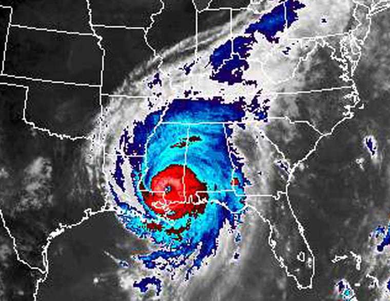
Expect more hurricanes large and small in the next 10 to 20 years, the director of the federal National Hurricane Center said Tuesday.
Max Mayfield told a congressional panel that he believes the Atlantic Ocean is in a cycle of increased hurricane activity that parallels an increase that started in the 1940s and ended in the 1960s.
The ensuing lull lasted until 1995, then “it’s like somebody threw a switch,” Mayfield said. The number and power of hurricanes increased dramatically.
Under questioning by members of the Senate Commerce subcommittee on disaster prevention and prediction, he shrugged off the notion that global warming played a role, saying instead it was a natural cycle in the Atlantic Ocean that fluctuates every 25 to 40 years.
More named storms expected this year
Mayfield predicted several more named tropical storms this year. The latest, Hurricane Rita, is the 17th named storm of the Atlantic hurricane season, which ends Nov. 1. Since record-keeping started in 1851, the record is 21 tropical storms, in 1933.
Mayfield also listed a number of cities and regions in addition to New Orleans he believes are “especially vulnerable” to damage from a major hurricane: Houston and Galveston, Texas; Tampa; southern Florida and the Florida Keys; New York City and Long Island; and New England.
“Katrina will not be the last major hurricane to hit a vulnerable area,” he said.
The center’s predictions on Katrina’s movements were more accurate than usual, but the storm grew more intense more quickly than expected as it moved through the Gulf of Mexico, he said. Three days before it made landfall on Aug. 29, computer models predicted it would hit near New Orleans.
Forecasts better at where, but not at how strong
Asked to assess the nation’s ability to track hurricanes, one expert before the panel said forecasters have grown better at predicting the path of a storm over a few days but lag in their ability to gauge its intensity, rainfall distribution and surge in water levels.
Better sensors, computers and computer models of hurricane behavior can lead to improved forecasts, said Keith Blackwell of the Coast Weather Research Center at the University of South Alabama.
Senators praised the National Hurricane Center’s accurate prediction of Katrina’s track, calling it one of the few things the government has done correctly in regards to the storm.
“The people that did get out from the storm owe their lives to you and your people,” said Sen. Ted Stevens, R-Alaska.
