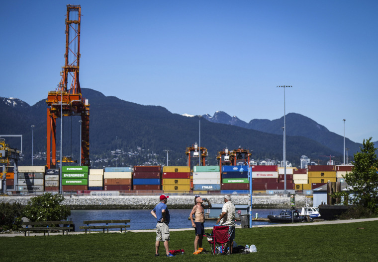
Monday is day four of what has been a rare and historic heat wave during the month of May for parts of the Pacific Northwest.
When the National Weather Service in Seattle issued an excessive heat watch ahead of the weekend heat wave, it was the first in May since at least 2006.
On Sunday, cities like Florence, Oregon, and Hoquiam, Washington, set monthly records when highs soared into the 90s.
Seattle's 89-degree heat Sunday was the highest temperature on record for the first half of May, and Portland, Oregon, registered its third straight day of 90-degree temperatures. Not even historically hot cities like Dallas have experienced three days in a row of 90 degrees or hotter this year.
In perhaps the most stunning stat of all, Squamish, British Columbia, reached a record-shattering 96 degrees Sunday, which was hotter than Las Vegas.
The reason for the early season heat is a large and strong area of high pressure sitting over the region. High pressure zones cause air to sink and heat up. The result has been highs soaring 15 to 30 degrees higher than average.
Highs well above average, in the 80s and 90s, are forecast to continue through the week, with temperatures cooling slightly by Friday.
According to Climate Central’s Climate Shift Index, the record temperatures were made two to five times more likely because of human-caused climate change.
The hot temperatures are also extending into parts of western Canada, fueling the unprecedented wildfire conditions there. With the fires expected to continue burning, wildfire smoke will be prolific across Canada, and it will also drift down into parts of the Lower 48 states, leading to the potential for air quality issues, milky skies and vibrant sunrises and sunsets.
While the hot and dry conditions dominate the Pacific Northwest, other parts of the country could experience strong to severe storms and spotty flash flood threats through the week.
The next three days will feature strong to severe storms dotted across the country.
On Monday, some strong storms capable of mainly gusty winds will be possible across parts of Iowa into western Kentucky. Nashville, Tennessee, and Paducah, Kentucky, are the largest metro areas to watch.
On Tuesday, 3 million people across parts of Kentucky, Tennessee and western Virginia could get severe storms capable of high winds and hail. A tornado or two will be possible, as well. Knoxville, Tennessee, is the largest city in the risk area. Cities like Charlotte, North Carolina, Nashville and Atlanta could also experience isolated strong storms.
By Wednesday, strong storms will return to the western high Plains, including parts of eastern Colorado, the Texas Panhandle and western Nebraska. The main risks will be high winds and hail. Denver, Colorado Springs, Colorado, and Amarillo, Texas, are the metro areas to watch by midweek.
Along with the scattered severe storms, isolated instances of flash flooding could be possible especially with any of the stronger storms that have heavier rainfall rates.
Areas most likely to get flooding include southern Texas and parts of the Ozark Mountains on Monday and parts of the Ohio River Valley and the southern Appalachians on Tuesday.

