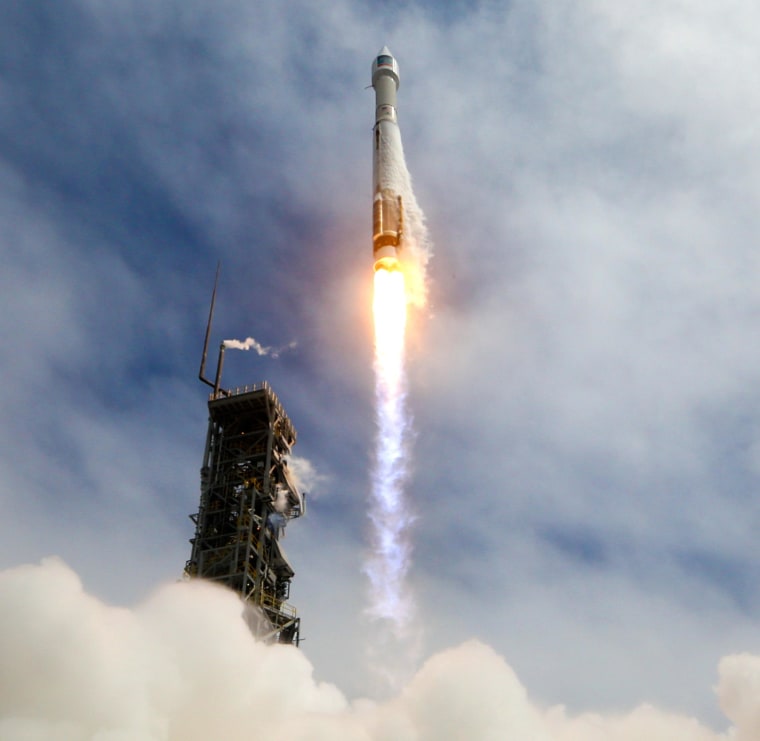
The world's most advanced commercial Earth-imaging satellite, DigitalGlobe's WorldView-3, was successfully sent into orbit on Wednesday from California's Vandenberg Air Force Base atop an Atlas 5 rocket.
Starting next year, pictures from the RV-sized satellite could bring new features to light at archaeological sites, disaster areas, nuclear facilities and even your own backyard.
WorldView-3's 1.1-meter telescope system is designed to produce pictures with 1-foot (31-centimeter) resolution from a height of 383 miles (617 kilometers). That's a significant improvement over the 20-inch (50-centimeter) resolution achieved by DigitalGlobe's existing Earth-watching satellites. The enhanced imagery is expected to make its way into satellite map databases operated by Google, Microsoft and ventures.
"We've been working toward this day for the last four years," Neal Anderson, DigitalGlobe's vice president of technology development, said after the launch.
Anderson said WorldView-3 should be able to spot home plate in a baseball stadium. The pictures could even show the ballplayers in the field, and make it possible to count how many of the seats were empty, he added.
In the past, DigitalGlobe's imagery has been used for more serious purposes as well — such as documenting natural disasters, plane crashes and human rights abuses, as well as tracking the progress of Iranian nuclear research and North Korean missile development. WorldView-3 will serve as a keener eye for those kinds of observations. What's more, its "super-spectral" imaging capability could contribute to agricultural and urban planning, and its shortwave infrared sensor will be able to see through clouds and smoke to track wildfires.
In a post-launch statement, DigitalGlobe CEO Jeffrey Tarr said WorldView-3 "will enable us to help our customers see through smoke, peer beneath the ocean's surface and determine the mineral and moisture content of the earth below — all with unprecedented clarity."
IN-DEPTH
- DigitalGlobe Eyes $400 Million Market for High-Res Images
- Why Google Might Spend $3 Billion on a Satellite Fleet
- How Satellites Saved the World
