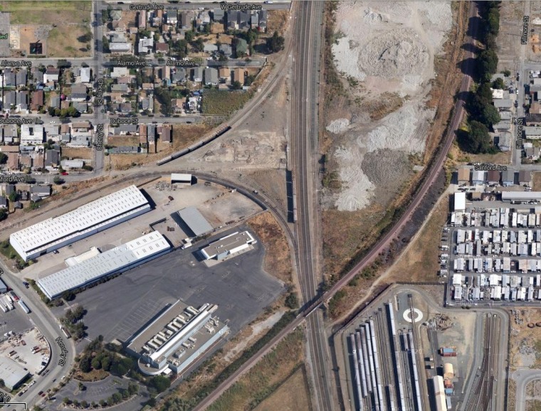
The body of a young Bay Area man who was shot and killed in North Richmond, Calif., turned up on satellite images in Google Maps that happened to be taken on the day of the crime. His distraught father asked Google to replace the imagery, and they are complying in a hurry.
Jose Barrera, whose 14-year-old son Kevin was killed in 2009 near some train tracks at the edge of the city, only learned of the images last week, and has petitioned Google to remove them.
There are ways to modify or correct some map information quickly, such as a mislabeled street or landmark. But when the satellite imagery itself is the problem, the fix isn't as easy as changing a database entry.
"We've been looking at different technical solutions," Google Maps VP Brian McClendon told NBC News in a statement. "Google has never accelerated the replacement of updated satellite imagery from our maps before, but given the circumstances we wanted to make an exception in this case."
Swapping out the actual high-altitude shots isn't a simple process (other parts of the maps will have to be readjusted, streets realigned, etc.) but McClendon said the team should be able to swap out the offending section in about eight days.
It can't come soon enough for Barrera. "When I see this image, that's still like that happened yesterday," he told local TV station KTVU. "That brings me back to a lot of memories."
Devin Coldewey is a contributing writer for NBC News Digital. His personal website is coldewey.cc.
