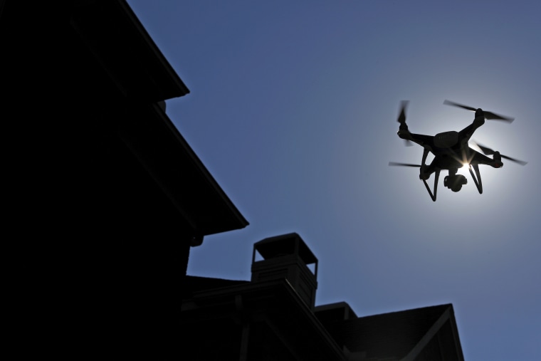
Having moved on from its path of destruction in the Caribbean, Hurricane Irma is now bearing down on Florida. And as anxious Floridians board up their windows in preparation for the deadly hurricane's projected landfall on Sunday morning, disaster-response teams are readying their drones.
Dozens of unmanned aerial vehicles were deployed in Houston in response to Hurricane Harvey, and UAVs are expected to be out in full force across Florida in coming days. Experts say UAVs will likely play an even bigger role in relief efforts when future storms or earthquakes hit.
Drones can perform critical tasks as disasters unfold, including spotting people in need of urgent help. Evidence suggests drones may have certain advantages over traditional search-and-rescue efforts — including speed.
In preliminary research conducted in Europe last year, drones found isolated people much faster than did traditional ground-based rescue teams. Drones can also deliver rescue ropes and life jackets in areas that are too dangerous for ground-based rescuers to venture into.
Drones are also providing help in the aftermath of disasters — for example, to assess damage to buildings, roads and bridges, and power lines. "This is one of the first big disasters where we can show how valuable drones can be," Brandon Stark, director of the University of California’s Center of Excellence on Unmanned Aircraft System Safety, told Wired in reference to Hurricane Harvey.
Among the groups that put up drones over Houston in Harvey’s wake was one led by Dr. Robin Murphy, a professor of computer science at Texas A&M University and director of the university’s Center for Robot-Assisted Search and Rescue. Her team flew 119 UAV missions over Houston using a range of drones, from small quadcopters like the ones popular with hobbyists to the military-grade Insitu ScanEagle, an unmanned plane that launches from a catapult.
In addition to spotting people in need of help and assessing flood damage, Murphy said her team’s drones were used to monitor levees, predict further flooding, and help provide estimates of how long certain areas would be underwater.
And Mike Winn, CEO of the San Francisco-based drone mapping and analytics company DroneDeploy, said drones operated by the nonprofit organization Humanitarian Drones had used his company’s software to create detailed maps to help emergency-management agencies assess storm damage in Houston. Winn said Humanitarian Drones plans to mount a similar effort in Florida as Irma hits there.
Murphy said she was pleased that drones are becoming an integral part of disaster relief efforts — and surprised that it took so long. "If you’d told me in 2005, having seen their clear value after Katrina, that it would be 10 years before they were adopted by all of the emergency management systems, I would have laughed," she said. "I’m really excited that this may be the time where everybody sees that it’s time to get them in the hands of emergency managers."

