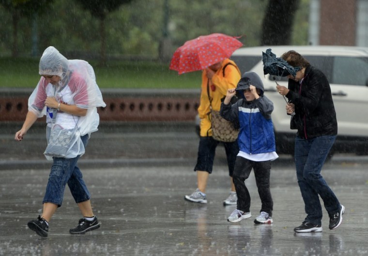
Major travel delays were reported Monday in the Northeast, where a storm system that moved east after having dumped 4 feet of snow on the Plains triggered thunderstorm warnings and strong, gusty winds.
All tornado watches were lifted at 5 p.m. ET after having been issued for much of the region from Washington, D.C., north to Vermont. But strong winds continued to create major complications for travelers. The Federal Aviation Administration reported takeoff delays of about an hour at LaGuardia and John F. Kennedy airports.
On its way north, the storm's torrential rain and winds gusting to 75 mph shut down after-school activities Prince George's County, Md., a suburb of Washington, and flung a massive tree branch onto the hood of a car on Capitol Hill, NBC Washington reported.
Rain and thunderstorms along the cold front intensified Monday afternoon as strong low-level winds spreading over the region moved into an environment with high atmospheric moisture, a combination that often leads to damaging wind gusts, the Weather Channel reported.
The National Weather service also issued severe thunderstorm warnings for parts of central New York and northeast Pennsylvania.
The activity is expected to sweep into Connecticut, Massachusetts and Vermont by early Monday evening before starting to weaken farther east.
Related:
