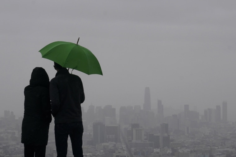
A series of warm atmospheric river storms are expected to bring another bout of flooding to California, continuing a season of dramatic — and damaging — rain and snow.
“With the abundant rain coming from these atmospheric rivers, we will see flood impacts again,” Michael Anderson, the California state climatologist, said in a Thursday news briefing, calling some of the expected precipitation totals “astounding.”
At least 10 rivers are expected to exceed their flood stages, according to the California Nevada River Forecast Center as of Thursday afternoon. Many of the same locations were hammered by floods in January, as storm after storm pummeled central and northern California.
By 6 p.m. Thursday, around 1 inch of rain had fallen in parts of the San Francisco Bay Area, including Oakland and Berkeley, according to the National Weather Service. Urban areas in the region were forecast to get up to 3 inches, with up to 6 inches in coastal areas and inland hills, it said.
At higher elevations, freezing levels are expected to rise. Rain falling on top of recent snow will likely cause avalanches as the snowpack absorbs several inches of water. In mountain towns, weather experts and local officials have been warning that rain could be absorbed by rooftop snow and cause buildings to collapse.
Avalanche warnings were issued for the central Sierra Nevada Thursday, according to the Sierra Avalanche Center.
“There is a real risk of structural stability issues and roof collapses,” said Daniel Swain, a climate scientist at UCLA and the National Center for Atmospheric Research, during a recent YouTube discussion of the extreme weather. “That’s going to be a fairly widespread problem. It’s already happening and additional rain on snow will likely make that problem worse.”
California Gov. Gavin Newsom proclaimed a state of emergency for 21 counties in the state; 13 other counties were in a state of emergency last week.
An “atmospheric river” began moving into California on Thursday, raising the risk of floods, forecasters and other officials said.
What could be dangerous rainfall was moving into the Fresno area, and Carson Pass in the Sierra Nevada was closed due to heavy snow, officials said.
On the California coast, scenic Highway 1 was closed for an around 40-mile stretch from Big Sur to Ragged Point because of reports of rockfalls, the California Department of Transportation said Thursday evening.
While rain fell Thursday, "that was just the very, very top tip of the iceberg,” National Weather Service Meteorologist Brian Garcia said at a briefing for Santa Cruz County.
Warm rains had local officials on alert for flooding.
“It’s going to melt the snow, and on top of that we have warm water on top of the snow,” Fresno County Emergency Services Director Terri Mejorado said at a news conference Wednesday in which she urged residents to be prepared.
Downtown Fresno is forecast to get 3 inches of rain from Thursday evening to Saturday morning, but warm rain and warm temperatures will also melt snow at lower mountain elevations, she said, causing streams to rapidly grow.
The Fresno County Sheriff’s Office on Tuesday issued evacuation warnings for the foothills and mountains, and told people to be ready to leave.
Winter storm warnings covered a swath from southern Oregon to near Bakersfield, where residents were told to be on the watch for floods, according to the National Weather Service. Flood watches were in place for Fresno and the Sacramento Valley until Sunday.
Sequoia and the adjacent Kings Canyon national parks in the Sierra Nevada are closing their entrances due to the weather. Heavy rain is forecast for elevations that have up to 12 feet of snow on the ground, the National Park Service said.
"There is major potential for flooding and serious road and infrastructure damage, in the parks as well as the surrounding communities," it said in a statement.
Forecasters in the San Francisco Bay Area warned of a risk of considerable river flooding from the Santa Cruz Mountains and south to Monterey County.
“Preparations should be completed by the end of the day today,” the weather service said Wednesday.
Further south and closer to the coast, Santa Barbara and San Luis Obispo counties could get 4 inches of rain, according to the weather service in Oxnard. Parts of the San Luis Obispo coast and foothills could get up to 8 inches, it said.
In late February, a powerful winter storm brought blizzard conditions and several feet of snow to the Southern California mountains, including around 7 feet to parts of the San Bernardino Mountains, northeast of Los Angeles.
The heavy snow isolated some communities and trapped some residents in their homes. Wrightwood, a community of 4,700, got around 50 inches of snow, or a little more than 4 feet, according to the weather service.
Mountain highways began to reopen this week after being closed for more than 10 days.

