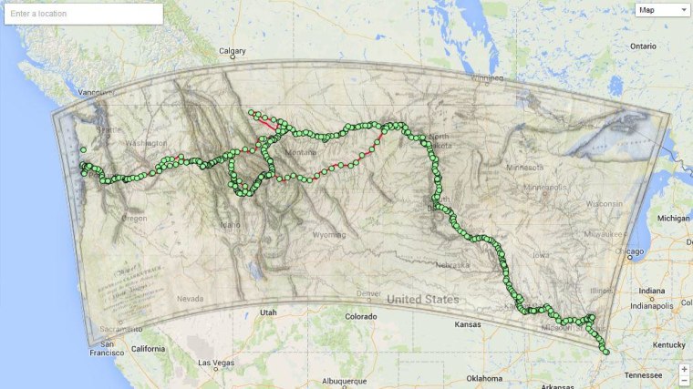
There are plenty of things you can discover with Google Maps Gallery, a new project that aims to make everything from population statistics to emergency evacuation routes available to the public. It can also be used for time travel.
Well, not really, but the collection is full of historical maps placed over modern Google Maps, giving users a glimpse of Tokyo in 1860, the United States during the Civil War, and biblical landmarks in the Middle East.
A transparency slider lets you get some perspective on where, exactly, Lewis and Clark were traveling in the early 19th Century or watch open space disappear as San Francisco transitions from 1938 to today.
The project was announced on Thursday in a Google blog post. The maps come courtesy of groups like National Geographic Society and the World Bank, and the gallery should expand as more organizations submit data to the Google Maps Engine public program.
Yes, it should prove useful for people other than amateur historians. Maps of deforestation in the Brazil, U.S. Congressional districts, and school rankings in the Bay Area all have practical applications. But your inner nerd will probably be most interested in taking a trip back in time, or looking at the lights of Earth at night from the view of a satellite.
