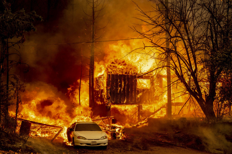
Wildfire season is in full swing, with more than 60 large blazes burning across 14 states.
In California, the Oak Fire near Yosemite National Park has burned more than 29 square miles and threatened nearly 2,700 buildings. Fires in Alaska have consumed an area the size of Connecticut. And more fires could be on the way, as record heat continues to dry out much of the country.
The National Wildland Fire Preparedness Level, a five-point measure of wildfires burning and resources devoted to wildfire fighting, increased from a two to a three this month. At a level three, multiple areas require remote support to aid in firefighting.
Use the map below to see the fires burning across the nation. Click or tap on a fire for more information about it. This map will be updated daily.
In firefighting, containment is the process of creating a barrier around a fire — with soil, rocks or burnt fuels — in order to keep it from spreading to anything else flammable. According to the National Interagency Fire Center, a fire might still be burning even when it is 100% contained, but at that point the local firefighting agency is able to manage the blaze without assistance from national resources.


