Real-time seismic monitoring systems can alert scientists almost instantly to a volcano’s smallest rumble. Satellite receivers and Earth-watching spacecraft can measure minute changes on the slopes. And scientists are working on systems that can do a CT scan of a volcano’s depths. Thousands of lives have been saved because of the high-tech revolution in volcano monitoring.
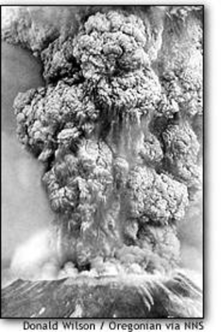
The Mount St. Helens eruption of May 18, 1980, was an awe-inspiring demonstration of nature’s power — and a catalyst for scientists trying to understand the mechanism behind that power.
Geologists had figured out years before that the volcano in Washington state’s Cascade Mountains was capable of renewed eruption. But in the old days, on-the-scene seismic information was collected on film and on paper, for review later. “This has all sorts of problems for analysis,” said Steve Malone, a geophysicist at the University of Washington who has been studying Mount St. Helens for 27 years.
The radio-equipped seismic station installed in March 1980 — just days before the first gas- and-steam eruption that led up to the big blast — was so new that the analysis software hadn’t yet been written for it, he recalled.
“It was a little bit as if you had a recorder that you could record on, but couldn’t play back,” he said. “During those first two months we were handicapped in that respect.”

Nevertheless, geologists anticipated the potential for lava flows, pyroclastic flows, mudflows and floods — and used that analysis to chart the areas to be evacuated. Thousands of residents, tourists and loggers were cleared away.
One major hazard was unanticipated: the possibility that the northern slope of the mountain might slide away, directing the blast of rock, ash and hot gas at the surrounding terrain like a 24-megaton cannon. Trees were flattened like toothpicks as far as 19 miles away from the volcano, and 57 people died.
“The volcano hazard guys called what happened very well, other than the lateral blast,” Malone said. “Unfortunately, that was what ultimately killed most of the people.”
If what happened in 1980 were to happen today at Mount St. Helens, scientists say they would see the seismic signature of the fatal lateral blast well in advance. And even if they missed that signature, they would still move people further away from the peril just as a matter of course.
“With the current state of knowledge, certainly more lives could have been saved,” said Ed Klimasauskas, a geologist with the U.S. Geological Survey’s Cascades Volcano Laboratory.
Lessons learned
That big blast took the top 1,300 feet off the 9,677-foot mountain, setting off new cycles of dome-building and eruption. In the months that followed, seismologists installed more radio-monitored seismic stations and learned far more about the volcano’s behavior. Eventually they could see eruptions coming days in advance.
“The key thing has been the near real-time, or essentially real-time analysis of seismic data,” he said. “In the two months before May 18, we really couldn’t do that. But the potential was obvious.”
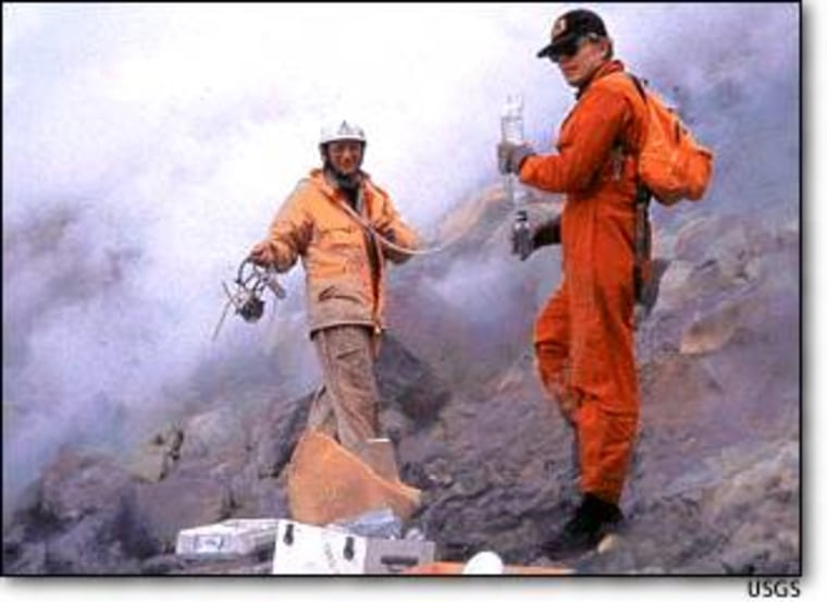
Today, Mount St. Helens is wired with 17 radio-linked, real-time seismic stations. Gas detection devices look for the telltale emissions associated with eruptions. Experts use laser range-finders and Global Positioning System receivers to monitor ground deformation. Lahar detection systems watch for any signs of mudflows. Tiltmeters can sense the slightest change in elevation.
“If you took a bar 1 kilometer long and you slid a dime under it, these instruments would be able to measure the tilt,” said Klimasauskas.
Hazard assessments have also been revised. “We pretty much draw a circle around (an active) volcano that is 22 or 23 miles” in radius, Klimasauskas said. In contrast, some of the boundaries around Mount St. Helens in 1980 came right up to the base of the volcano, he said.
Worldwide web of volcanoes
Malone and Klimasauskas emphasize that every volcano is different, and the knowledge gained about one can’t necessarily be applied to another. But they agree that the 1980 eruption at Mount St. Helens served as a catalyst for American scientists to study volcanoes worldwide.
When Colombia’s Nevado del Ruiz Volcano erupted in 1985, killing 23,000 people, the U.S. government formed a rapid-response force that drew upon the experience of Mount St. Helens’ veterans.
Since then, the Volcano Disaster Assistance Program, based at the Cascades Volcano Observatory, has sent equipment and expertise to 14 countries. The program considers Mount Pinatubo in the Philippines to be its most significant triumph: More than 75,000 people — plus millions of dollars’ worth of military hardware — were moved to safety in advance of Pinatubo’s eruption in July 1991.
The program’s experts played an advisory role at Mount Mayon in the Philippines as well as at Tungurahua in Ecuador.
Perhaps the most important thing is to build up background data on dormant volcanoes, so that the experts can tell when they should take notice and when they can relax, Malone said.
“Yesterday, in the middle of the night, there was a swarm of earthquakes at Mount Hood (in Oregon) — dozens of events,” he said. But a comparison with past data showed that the activity was well within the volcano’s normal range.”
“Had we not had the background information, we might at this point be making noise about possible eruptions at Mount Hood,” Malone said.
More tools on the horizon
In the future, satellites could play a bigger role in long-term volcano monitoring, complementing real-time seismic networks.
The satellite-based Global Positioning System already is widely used to track subtle ground movements over time. And as Earth-observing satellites make repeated passes over the same area, they can use a technique called interferometry to highlight shifts in elevation.
Klimasauskas said satellites have been “really handy” for tracking ash plumes from Aleutian and Kamchatka volcanoes, which pose a substantial hazard to commercial air routes over the Pacific.
Malone said researchers are also working on a computerized technique known as seismic tomography, which produces a geological CT scan of the rock and magma deep below the surface.
But even though scientists know far more now than they did 20 years ago, that still doesn’t mean they can predict precisely when Mount St. Helens — or any volcano — is going to blow.
“Generally the rule of thumb is that once a volcano has shown signs of restlessness, an actual eruption could pretty much come at any time,” Klimasauskas said.
