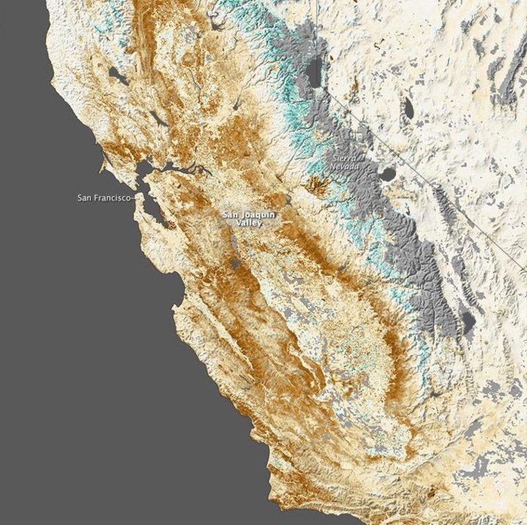
California's ongoing drought is bad enough that the state is looking for a little help from above — that is, from NASA. Combining the space agency's satellite data with on-the-ground measurements and reports could help mitigate or even prevent future droughts.
NASA announced that it will be working with California's Department of Water Resources over the coming years, combining forces to better assess the needs, capabilities and weaknesses of the state's water systems. Though the current drought isn't quite the worst in history, it is among the worst on record and could last a decade or more.
Among the projects planned are joint flights in NASA's Airborne Snow Observatory, which will give a good idea of the extent of snow reserves feeding Bay Area watersheds.
Satellite data will also be highly valuable: Imagery from high altitude can be used to determine the position of groundwater reserves that would be otherwise difficult to detect. Slight distortions in the land over time give away the presence of underground aquifers and stored moisture. Similarly, an elevated perspective can help farmers better plan selective irrigation and fallowed fields.
The agencies are working with UC San Diego to create better predictions of the state's "atmospheric rivers," corridors of wet air that, depending on timing, can alleviate droughts — or cause floods. And work with Japan's space agency and the International Space Station offers unprecedented global measurement data of precipitation and ocean winds.
More weather-related projects and satellites are on their way in 2014, and will no doubt also figure in the NASA/DWR partnership.
