More than 1 billion people live in low-lying areas where a sudden surge in sea level could prove as disastrous as the 2004 Asian tsunami, according to new research by U.S. government scientists.
A U.S. Geological Survey team has devised mapping techniques to show how much land would be lost and how many people affected by rapid sea level rises, be they from tsunamis or melting ice sheets.
E. Lynn Usery, who led the team, said nearly one-quarter of the world's population lives below 100 feet above sea level — the size of the biggest surge during the 2004 tsunami that pulverized villages along the Indian Ocean and killed 230,000 people.
"What we are suggesting is what kind of areas are at risk (in) a catastrophic event," Usery told a meeting of the Association of American Geographers on Thursday.
"The fact that there are that many people living at that sea level means there are probably a lot of people potentially in harm's way."
The team also found that a 100-foot (30-meter) rise in sea level would cover 3.7 million square miles of land worldwide.
A rise of just 16 feet (5 meters) would affect 669 million people and 2 million square miles of land would be lost.
Eyes on ice sheets
Sea levels are currently rising about 0.04 to 0.08 inches (1 to 2 millimeters) each year, making it unlikely such a scenario would suddenly occur across the globe, Usery said.
But he said 10,000 years ago sea levels rose 20 meters in 500 years — a relatively short span — after the collapse of the continental ice sheets due to warming temperatures.
"It can happen in a short period of time if we look at the historical data," Usery said.
In a statement describing the research, the USGS noted that scientists "say that within the next century, if nothing is done to modify New Orleans’ existing infrastructure, some areas of the city that did not flood as a result of Hurricane Katrina will likely flood in a future storm due to subsidence and sea-level rise," the USGS stated.
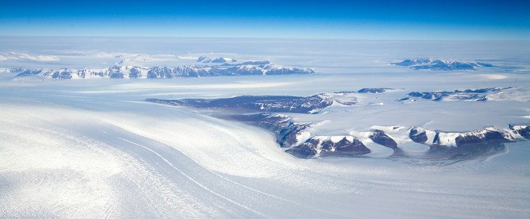
"This isn’t just a local problem," it added. "Complete melting of the Antarctic and Greenland ice sheets could lead to a sea-level rise of about 80 meters, while melting of all other glaciers could lead to a sea-level rise of only half a meter."
Tools for policymakers
Usery said the new mapping technique provides detail that was previously unavailable and gives policymakers better tools to prepare for potential disasters. With just a mouse click on the computer, researchers can gauge how much land would be lost at various sea levels, and where.
The team developed its own mapping projection software and then plugged in U.S. Geological Survey data on population, elevation and different types of land cover.
"This can be used by nations in the world to put contingency plans in place," Usery said. "We haven't had data sets at this kind of resolution before."
The impetus for the project came after the 2004 tsunami and Hurricane Katrina in 2005 underlined the devastating impact sudden sea level surges can have on those living in coastal areas, Usery said.
Even though people know low-lying areas like the Netherlands or many parts of Asia are at risk of flooding, many do not realize just how big a risk they are facing.
"A 30-meter surge in Florida would leave the whole state covered except for a little plateau area," Usery said.
The sea-level rise data is online at cegis.usgs.gov/sea_level_rise.html
