"Did you see the bear?" the backpacker standing at the side of the trail asked. "He sure saw you."
Well, no, I'd missed him, screened by a few trees even though we peacefully passed within about 200 yards of each other. But I had excuses: Like the bear, I was stuffing myself with wild blueberries. And unlike the bear, I was frequently finding myself staring slack-jawed at the astonishingly beautiful vistas of Olympic National Park's High Divide trail.
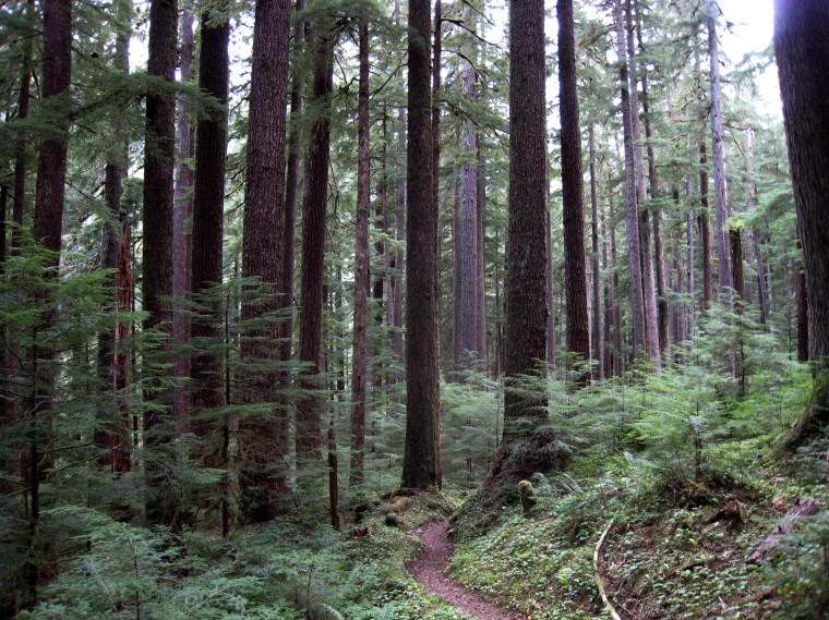
The 18.2-mile wilderness loop on the Olympic Mountains' northwest side is a sampler of what the park has to offer: old-growth forest, river canyons and waterfalls, subalpine meadows, a high, rugged basin dotted by peaceful lakes, views of Mount Olympus and other peaks — nearly everything but the park's ocean beaches and rain forests. You won't be lonely — it's justifiably popular as one of the Pacific Northwest's classic backpacking trips — but there's more than enough room to be off by yourself.
"It's a hike where you get to see the old-growth forest at the lower end and then the spectacular high country," said Bryan Bell, the park's Wilderness Information Center supervisor. "It's great for wildflowers, fall colors, wildlife."
You can do the loop in one long day, but I gave myself four on a late summer solo trip, both to accommodate a five-hour drive from Seattle and to allow plenty of time to laze, mosey and explore. My trip coincided with rare cloudless days, but anyone doing the loop should be prepared for sudden weather changes regardless of the season. Bring warm clothes and rain gear.

Snow is common on the trail until mid-July, and the short summer means plants and animals have to act quickly. High-country wildflowers bloom early, followed by billions of berries before leaves start turning color in September. The National Park Service rates August and September as the route's best months. Winter weather usually arrives in late October or early November.
The compact but isolated Olympic Mountains have animals found nowhere else, including the Olympic marmot, chipmunk and short-tailed weasel, but also black-tailed deer, mountain goats, bobcats, cougars, elk and black bears.
Bears, such as my inadvertent dining companion, are common sights — if you pay attention — but pose little danger if you leave them be and take normal precautions, especially keeping camps free of loose food and garbage.
Bear canisters, tough plastic containers to hold food, toothpaste and other items that bears and other critters find flavorful, are required in much of the park and a good idea elsewhere, not only to thwart bears but raccoons and other camp robbers. The Wilderness Information Center will lend you one for a modest donation.

Bell says the trail is the busiest high-country wilderness area in the park during the summer. The park limits the number of campers per night to lessen the impact, and it's often filled.
From the 1,900-foot elevation trailhead at the end of the Sol Duc River road, it's an easy 0.8-mile walk to gaze for a few minutes at Sol Duc Falls. Then either go left up the Sol Duc valley to the high country, or head right, up the steeper Canyon Creek trail to Deer Lake, 3.8 miles away.
The 1,700-foot elevation gain to Deer Lake capped a long travel day, but the isolated campsite next to a nearby pond and meadow was ideal for relaxing. Black bear, elk and, of course, deer are common in the area, as are extremely persistent mosquitoes.
The next day began with more climbing, with increasing views of the Bogachiel River valley to the west. But the second night's campsite was just four miles away, ending with a brief, steep descent into Seven Lakes Basin to Lunch Lake.
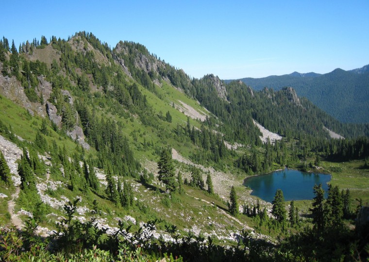
The basin actually has numerous lakes, ponds and streams that mingle with wide-open fields of heather and blueberries, storm-twisted conifers and steep rock slopes. Wander if you will, but a sunny afternoon with feet in the lake and nose in a book couldn't be better spent, with glances every few sentences to gawk at the splendor.
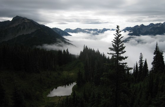
Back on the trail, counterclockwise on the loop, the path rises to more than a mile in elevation on the High Divide segment. A short climb to 5,474-foot Bogachiel Peak is mandatory, as are several slow turns to take in the dizzying views of the basin to the north, the Bogachiel and Hoh River valleys to the west, 7,980-foot Mount Olympus and its glaciers to the south, the Bailey Range to the east, and far in the western distance the cloud-shrouded coast.
That's roughly the halfway point, and the trail descends, steeply in parts, to Heart Lake, which offers splendid campsites and chilly swimming, plus another highly scenic side trip to nearby Cat Basin. Heart Lake's camps were filled so I consoled myself with a wooded spot next to a waterfall and azure pool farther down at Sol Duc Park.
The final day was a downhill stroll nine miles through the forest along the Sol Duc River.
The hike can easily be expanded by roaming Seven Lakes Basin, side trips to lakes and forests in the Hoh and Bogachiel valleys, or with a loop to Mink Lake near the trailhead.
Save time at the end for a soak and a shower at the Sol Duc Hot Springs Resort. Your muscles will thank you.
