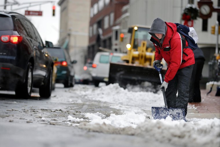
After the storm comes the calm. The first shoots of Spring will begin to emerge this week, but only after thunderstorms sweep across much of the country, forecasters said Wednesday.
“There’s quite a thunderstorm heading to the Northeast and Mid-Atlantic,” said Kevin Roth, a forecaster with the Weather Channel. “The good news is that it’s a minor system and it’s gotten warm enough so most areas will see rain.”
But the brutal winter is not over just yet.
Roth added that some parts of New England and Upstate New York may see up to 6 inches of snow, and residents in parts of Pennsylvania may have a slippery commute. A freezing rain advisory will be in effect for areas north and west of Philadelphia from 7 a.m. to noon ET on Wednesday, according to NBC Philadelphia.
While blustery, the storms should blow through in little more than two hours, Roth said.
“Tomorrow we have almost a Spring-like day,” he added, although the National Weather Service said there was a slight risk of thunderstorms across a large portion of the central and southern United States, but he said these would be over quickly.
“From Iowa to Northwest Michigan, there could be some snow, maybe five inches, but the totals won’t be all that impressive,” Roth said. “On the warm side of the system from Indiana down to eastern Texas and maybe New Orleans there could be thunderstorms."
It will be a similar story on Friday with more storms forecasted to sweep up the East Coast, starting in Florida. These would likely move through quickly, he added.
