Researchers have harnessed the same technology that lets your smartphone know where in the world it is to locate secret underground nuclear tests.
These tests, like earthquakes, send-out high-energy shockwaves that momentarily disturb the ionosphere, the outermost layer of the atmosphere, about 50 miles above the Earth’s surface.
As these waves pass between a GPS satellite and GPS receiver on the ground, they cause a blip in the data – called ionospheric delay.
“By analyzing the iono[spheric] delay, we are able to detect local disturbances in the ionosphere that are caused by a nuclear explosion or an earthquake,” Dorota Brzezinska, a professor of geodetic and geoinformation engineering at Ohio State University, told NBC News in an email.
“If we have enough redundancy in the observation system (sufficient number of ground-based permanently tracking GPS stations that observed multiple satellites, whose signals were disturbed) we can also detect the point source of the disturbance, that is, the location of an explosion.”
The same technique is also applies to radio telescopes, whose observations are similar to GPS.
“We may be looking up at a distant galaxy instead of down to the Earth, but either way, we’re all looking at radio waves traveling through the ionosphere,” Joseph Helmboldt, a radio astronomer at the U.S. Naval Research Laboratory, said in a news release.
The Ohio State researchers previously showed that South Korean GPS stations detected the telltale atmospheric disturbances from North Korea’s 2009 nuclear test.
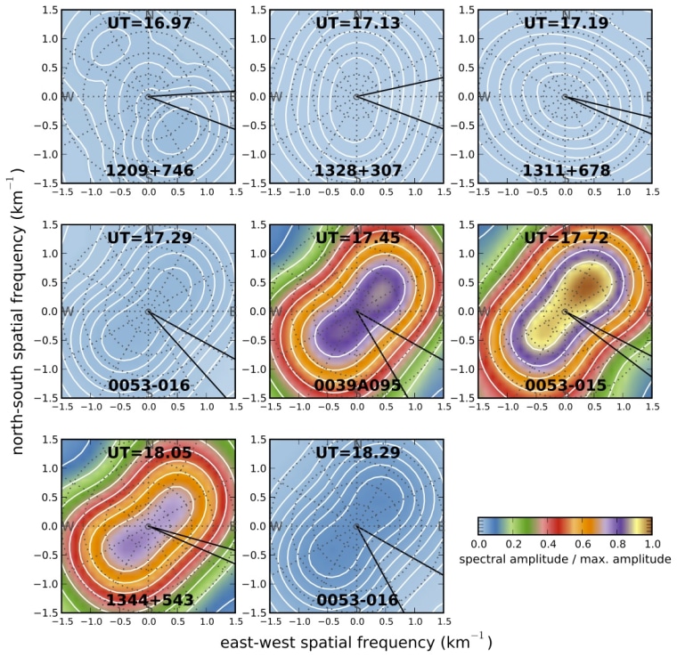
They have since collaborated with Hemboldt to analyze data from the Very Large Array, a constellation of 27 radio telescopes near Socorro, New Mexico, and found the array recorded a similar pattern of disturbances from the last two American underground nuclear tests, which occurred in Nevada in 1992.
The technique is different than the Nuclear Detonation Detection System, which consists of detection sensors on GPS satellites deployed in the 1980s “to provide precise location, yield, and height of burst information on any nuclear explosion worldwide,” according to the Decode Systems web resource.
Instead, Brzezinska told NBC News that she and her colleagues are “working with the regular navigation signals.”
The difference between the radio telescope and GPS techniques comes down to resolution. The GPS system covers a wider area, the radio telescopes offer higher resolution measurements over a smaller area.
As people and countries around the world continue to pursue the skills to build their own nuclear explosives, such enhanced monitoring is welcome news.
Brzezinska and colleagues presented their findings earlier this week at the annual meeting of the American Geophysical Union in San Francisco.
– via Discovery News
John Roach is a contributing writer for NBC News Digital. To learn more about him, check out his website. For more of our Future of Technology series, watch the featured video below.
