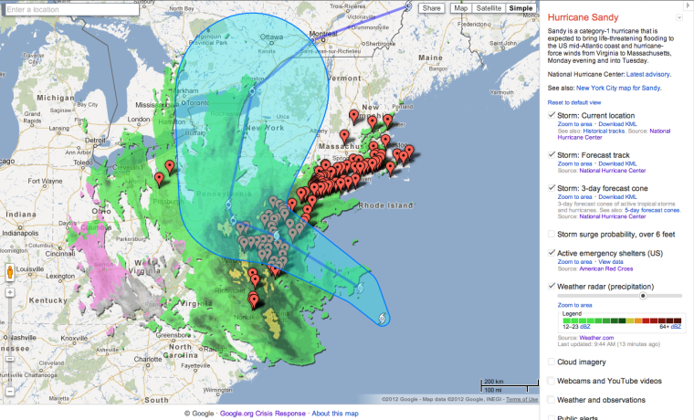
If you need as much information about Hurricane Sandy as you could possibly get in a single glance, a tool created by Google's Crisis Response Center may be your best bet. Reliable and well-vetted, it tracks the storm's progress and keeps you apprised of emergency resources and more.
Google's Crisis Map combines information from the National Hurricane Center, American Red Cross and other trusted sources. It offers details about the storm's current and forecasted locations, emergency shelter locations, live webcam feeds, public safety alerts, traffic conditions and a wealth of other vital information.
At first glance the tool may feel a bit overwhelming, but if you scroll through a pane on the right side, you can make sure to select only the information and overlays you want to view. If you are specifically interested in how the storm is affecting the New York City area, there's also a separate map tool focusing on that.
Want more tech news or interesting links? You'll get plenty of both if you keep up with Rosa Golijan, the writer of this post, by following her on Twitter, subscribing to her Facebook posts, or circling her on Google+.
