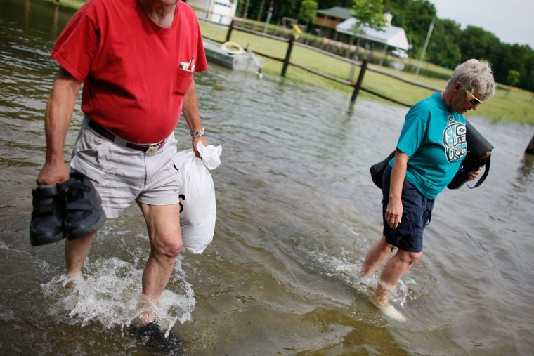
Crews laboring to strengthen fortifications along the swollen Mississippi tackled new dirt slides and seepages on a fragile earthen levee Wednesday as forecasters said more heavy rain could cause a second round of big crests.
As much as 8 inches of rain fell on parts of northern Missouri from Tuesday night into Wednesday, adding water to about four rivers that feed into the Mississippi, the National Weather Service said.
"They will be dumping in huge, unwelcome amounts into the Mississippi over the next few days," hydrologist and meteorologist Mark Fuchs said. He said the river city of Hannibal "could go up to its big crests again."
Still more thunderstorms are forecast over the coming days upstream in Iowa, Minnesota and Illinois, Fuchs said.
"We're very concerned about that," he said. "The flood of 2008 may not be over. We're all a little nervous because of the amount of water in the river right now. It's drawing an incredible amount of attention right now."
A troubling forecast
At Grafton, Ill., the preliminary forecast for this coming Saturday is for "a foot rise over what they've had so far," he said. A weather service Web site showed a crest of 31 feet is expected, 13 feet above flood stage.
That wasn't welcome news for Winfield, farther up stream, where flood fighters faced a new 100-foot dirt slide down the slope of the Pin Oak Levee on Wednesday and new sand boils — spots where water soaking beneath the levee percolated up through the sandy soil. They had just declared success in their patch of a 200-foot dirt slide that occurred Tuesday.
The porous, heavy soil making up the Pin Oak is like a sponge, and the U.S. Army Corps of Engineers' chief of dam safety, Travis Tutka, has said he can't guarantee the levee would hold.
Lincoln County authorities deemed the area extremely hazardous and ordered boaters out of the water, saying even slight wakes lapping against the levee could cause a catastrophic failure.
The 2 1/2-mile-long levee about 45 miles northwest of St. Louis is all that's protecting 100 houses, a city park, several businesses and 3,000 acres of agricultural land in east Winfield, one of the last towns where the upper Mississippi was expected to crest.
The latest forecast shows the Mississippi will crest at Winfield at 37.5 feet on Friday, more than 11 feet above flood stage.
At Clarksville, northwest of St. Louis, a weakened sandbag wall protecting the city's historic downtown was reinforced and was holding ahead of Friday's predicted crest of 36.9 feet.
U.S. Transportation Secretary Mary Peters promised $1 million in emergency relief for Iowa to help pay for urgent repairs to roads and bridges damaged by floods.
