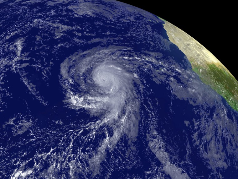
As predicted, El Nino is suppressing tropical storm development in the Caribbean and Atlantic.
In August, government forecasters said they expected El Nino's wind shear to quell tropical storm activity. That would mean fewer named storms in the season that lasts from June through November.
Gerry Bell of the U.S. Climate Prediction Center says that's happening. Bell says the El Nino is offsetting the warm ocean temperatures and other wind patterns that normally fuel storms this time of year in the peak of the season.
Tropical Storm Ana became the first named storm of this season on Aug. 15. Five more storms have formed since then, including hurricanes Bill and Fred.
Fred, now a Category 1 hurricane, is expected to weaken Friday over the open Atlantic and eventually be downgraded to a tropical storm.
The sixth named storm of the 2009 Atlantic hurricane season peaked on Wednesday when its top winds reached 120 mph, making it a "major" Category 3 storm on the five-step Saffir-Simpson intensity scale.
Thursday marked the historical peak of the six-month season, which runs through November 30.
In the Pacific, Linda lost its hurricane strength and was downgraded to a tropical storm, with maximum sustained winds near 50 mph.
Forecasters at the National Hurricane Center in Miami say Linda will likely weaken to a tropical depression by Saturday.
Linda was centered about 1,360 miles west of the southern tip of Mexico's Baja California peninsula.
