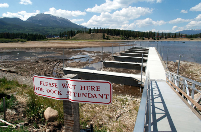
Responding to severe drought conditions across much of the West, the Agriculture Department has authorized emergency livestock grazing on some lands set aside for conservation and environmental protection.
The expanded grazing “will allow producers to provide additional feed and forage for their livestock,” Agriculture Secretary Ann Veneman said.
The department said that in areas of severe drought, ranchers and farmers will be allowed to graze livestock on land that is part of the Conservation Reserve Program. These are environmentally sensitive croplands that producers voluntarily retire in return for rent payment from the federal government.
A new area of severe drought was reported along a stretch from southeastern Montana to western Nebraska in mid-June.
There are 34.6 million acres set aside for the CRP program nationwide. It’s not known how much acreage will be used for emergency grazing because eligibility will be determined on a county-by-county basis, depending on drought conditions.
To be eligible for grazing on CRP land, a county must have suffered at least a 40 percent decline from normal precipitation levels, or be declared within the two most severe drought condition levels cited by U.S. Drought Monitor, the department said.
After a county has been approved from emergency grazing, participants must make an application with the local Farm Service Agency. If a participant uses some of his CRP land for grazing, the rent he collects for having set aside the land will be reduced by 10 percent.
Looking for El Nino
In Colorado, spring showers had raised hopes that the West’s long drought is finally waning, but the real answer could come from a network of research buoys bobbing far out in the Pacific.
So far, the answer everyone from firefighters to farmers wants to know is only a ‘maybe.’
Buoys, ships and satellites monitor water temperatures in the Pacific Ocean that help indicate whether the weather pattern known as El Nino will spread snow across the southern half of the West next winter.
Runoff from that snow provides the bulk of the region’s water.
“The thinking here is that it’s too soon (to predict an El Nino), even though there are a few models that suggest one will develop. But only a few,” said Doug Le Comte, a drought specialist for the National Oceanic and Atmospheric Administration’s Climate Prediction Center.
Much of the West remains desperately dry. The U.S. Drought Monitor shows a vast, S-shaped swath in an extreme or exceptional drought, from Oregon south to Arizona, back north to Idaho and Montana, and then southeast to Nebraska and Kansas.
Fires and West Nile virus
Fire danger is high across much of the far Northwest and the far Southwest.
In Colorado, June rains dampened the risk of wildfires over the eastern half of the state for at least a week, said Larry Helmerick of the Rocky Mountain Coordination Center, the state’s main wildfire command center.
The weather could also slow the spread of West Nile virus, which last year killed 63 people in Colorado. Virus-bearing mosquitoes multiply more slowly in cool, wet conditions, which in turn slows their ability to spread the disease, said John Pape, an epidemiologist with the Colorado health department.
“It’s certainly beneficial,” state climatologist Roger Pielke Sr. said of the June rain. “But it does not imply that we’ve broken the back” of drought.
That would take several winters of heavy snowfall to refill reservoirs and recharge bone-dry soils.
Modeling the future
For the winter outlook, the West must look to the Pacific Ocean, where small temperature changes in the water can create an El Nino, which pushes moisture-bearing storms over the Southwest and southern Rockies, or a La Nina, which pushes the moisture north, sometimes into Canada.
At the Climate Prediction Center in Camp Springs, Md., just outside Washington, scientists use more than a dozen models to predict whether the winter will bring El Nino, La Nina, or neither.
“The suite of forecast models or statistical techniques generally range from neutral to the weak end of an El Nino,” Michael Halpert, head of forecast operations for the center, said Wednesday.
A strong El Nino would require a rise in ocean temperatures of 2 or 3 degrees Celsius, or nearly 4 to 6 degrees Fahrenheit. None of the models currently indicate a rise of more than 1 degree Celsius, he said.
“We’re not seeing any indication of a strong situation,” Halpert said. “It’s kind of flirting with that minimum.”
