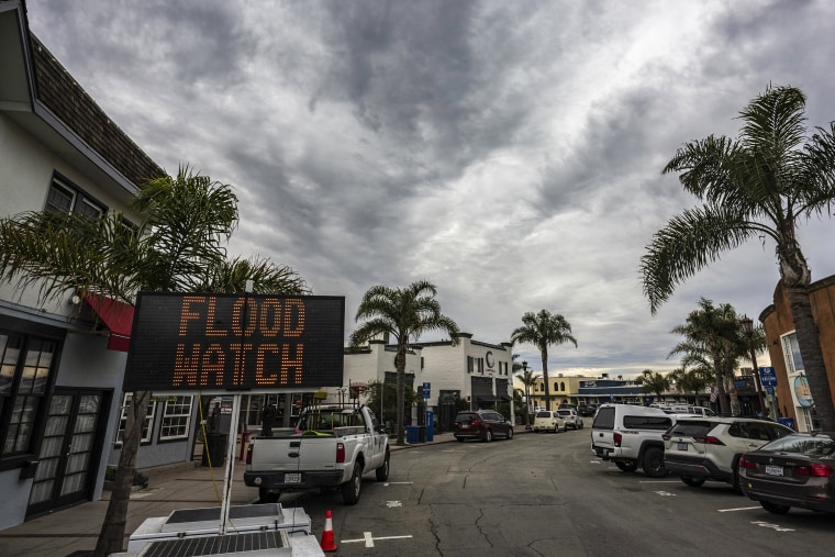
Rain was moving into the San Francisco Bay Area on Wednesday and wind gusts of around 50 mph were recorded as large parts of California braced for two storms that could flood roads and bring over a foot of mountain snow, forecasters said.
A wind gust of 70 mph was recorded on a fire road in Marin County, north of San Francisco, the National Weather Service for the region said.
Over 20 million people were under flood watches for the first of two "atmospheric river" storm events.
Damaging winds, especially in Northern California, could bring down power lines, but flooding was the main concern.
“The main impacts with this first storm system are going to be really a lot of impacts from the heavy rain,” Robert Hart, a National Weather Service meteorologist for the western region of the U.S., said at a briefing Wednesday.
Los Angeles was expected to get around 2 inches of rain Thursday, and in San Diego, still recovering from floods that struck Jan. 22 after the wettest January day on record, an inch and a half could fall, weather service stations said.
But "the effects are expected to be statewide," the California Department of Forestry and Fire Protection, also known as Cal Fire, said Wednesday in warning residents to be prepared.
In the Sierra Nevada, 8 to 18 inches of snow could fall above 7,000 feet and up to 8 inches below that, the weather service said in an advisory.
"Travel only if necessary over mountain passes," the government in South Lake Tahoe, a city of about 21,000 people around 6,000 feet up, said on Facebook. Snow could fall at 2 inches per hour, it said.
The heaviest rain in the Los Angeles area is forecast right in time for the Thursday morning commute, from around 5 a.m. to 11 a.m., the weather service said. Around 2 inches is likely for the entire area.
In San Diego, the heaviest rain is expected to start at 9 a.m. Thursday and continue through the afternoon, forecasters there said.
The rain in Southern California could also be helpful in the end. While San Diego, struck in recent storms, is back to normal precipitation amounts for this time of the year, much of the region is not.
“A lot of the Southwest, Southern California, is still much below normal,” Alex Tardy, a senior meteorologist for the weather service in San Diego, said in a video briefing Monday.
Two storms are on the way, Tardy said.
The first one this week will be faster, and it is the main precipitation event, he said, while the one Monday and Tuesday will be slower. Both are so-called atmospheric rivers, which forecasters describe as long and narrow regions in the atmosphere that transport water vapor.
The snow is much needed because El Niño winters have caused a 40% decline in Sierra snowpack levels compared to the average at this time of year, according to the California Department of Water Resources, or DWR.
"Many of these storms have also been warmer than average and produced more rain and less snow, a far cry from last year’s near-record snowpack and once again demonstrating how California can swing from one extreme to another," Michael Anderson, the state climatologist with DWR, said in a news release Tuesday.

Gov. Gavin Newsom activated a state operations center Tuesday evening to respond to the storms and coordinate efforts, his office said.
Brian Ferguson, the deputy director of crisis communication and public affairs at the state Office of Emergency Services, called the storm a “significant threat” to Californians and said the effects will be felt widely.
“The impacts extend from the north coast, almost near the Oregon border, all the way down to San Diego towards our border with Mexico,” he said.
Wind gusts in the mountains could hit 60 to 70 mph, the governor's office said, and there will be "above normal precipitation likely statewide" for the next few weeks, especially in Southern California.
A series of atmospheric rivers brought rain and flooding to parts of California last year.
During storms in March, two tornadoes struck in Southern California, including one in the Los Angeles-area city of Montebello. It was the strongest tornado to strike in the Los Angeles metropolitan region since 1983.
