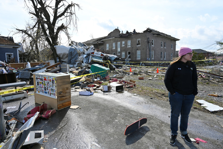
Millions of Americans from Texas to Georgia woke up to severe thunderstorms Wednesday, a third consecutive day of rainfall in the South.
Well before sunrise, the National Weather Service's Storm Prediction Center had already issued numerous tornado and severe thunderstorm watches for parts of the region.
The severe storms are expected to continue Wednesday across parts of the Southeast and the Gulf Coast, where 8 million people are under the risk for severe thunderstorms capable of producing damaging winds, hail and isolated tornadoes. Cities at risk include New Orleans, Baton Rouge, Louisiana; Mobile, Alabama; and Tallahassee, Florida.
In addition to severe weather, flash flooding is also a threat. The weather service has issued flood alerts for 14 million people across parts of Louisiana, Mississippi, Alabama, Florida and Georgia. This zone is where 2-5 inches of rain, with locally higher amounts, could fall through Thursday night.
On Thursday, the threat of severe storms and flash floods continue, but farther east. About 3 million people will be under the severe thunderstorm threat for parts of northern Florida and southern Georgia. These storms will be capable of producing damaging winds, hail and isolated tornadoes.
By Friday, the storm system that brought the severe thunderstorms and flooding rain to the South all week will head off the Atlantic coast and out to sea.
As that storm moves out, a quick moving area of low pressure diving out of Canada will move in. This storm will bring light snow for the Upper Midwest and the Great Lakes later Wednesday and through Thursday, and bring a mix of rain and snow showers to the interior Northeast on Friday.
Any accumulating snow will be confined to the Appalachians and the interior Northeast, while rain showers will occur along the coast and for the big cities. Gusty winds and colder temperatures will be noticeable in the wake of this storm.

