The Northeast is ill prepared and long overdue for a major hurricane, the private forecaster AccuWeather said in a special report on Monday, a little more than two months before the start of hurricane season in the Atlantic.
“The Northeast is staring down the barrel of a gun,” Joe Bastardi, AccuWeather’s chief hurricane forecaster, said in the report.
"With the weather patterns and hydrology we’re seeing in the oceans, the likelihood of a major hurricane making landfall in the Northeast is not a question of if but when,” he said.
There also wasn't much good news for the Gulf Coast, which was ravaged by Katrina and two other hurricanes last year: The report said the region would be vulnerable for the next decade.
'Temperatures and past cycles
The current storm cycle and above-normal water temperatures in the Atlantic are reminiscent of the pattern that produced the 1938 hurricane that struck Long Island and Providence, R.I., killing 600 people, AccuWeather said. Several Northeast hurricanes followed over the next 16 years.
“Because a hurricane of this magnitude has not made landfall in the Northeastern U.S. in nearly 60 years, few Americans are even aware that hurricanes can and do directly impact this part of the country,” the report said.
Warm water is the fuel for hurricanes, and surface temperatures off the mid-Atlantic have been up to 7 degrees warmer than normal this winter, Ken Reeves, senior meteorologist at AccuWeather, told MSNBC.com.
That warmth can even give storms forming farther south the energy needed to make it up to the Northeast.
The report also factored in what many scientists say are natural 15- to 20-year cycles of warmer water in the Atlantic, the latest of which started in 1995. While the Northeast has been spared so far during the current cycle, Reeves didn't think it would last.
“I'd be surprised if in the next five years there isn’t a major hurricane that makes landfall in Long Island or New England,” he said.
Texas coast cited
The report also predicted that the Texas coast from Corpus Christi to the Louisiana border is likely to be the target of more hurricane activity than usual over the next 10 years.
“The Texas coast is in for a long period of tropical activity,” Bastardi said.
The outlook comes after the most costly hurricane season on record in 2005, with storms crippling New Orleans and other parts of the U.S. Gulf Coast and briefly knocking out a quarter of domestic fuel production.
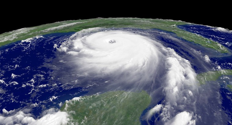
Hurricane Katrina struck New Orleans and the Mississippi coast last August with winds above 135 mph and a 30-foot-high storm surge, causing more than $60 billion in damage.
Katrina was followed by hurricanes Rita in Texas and Wilma in Florida. Each of those two caused more than $10 billion of insured losses.
Atlantic hurricanes typically form between early June and late November, although some have formed before or after that period.
