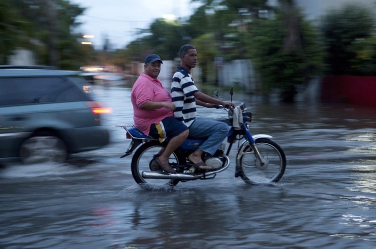
Haiti and the Dominican Republic will be in the cross hairs of Tropical Storm Chantal on Wednesday, threatening the Caribbean island nations with dangerous waves, storm surges and high winds, the National Hurricane Center warned Tuesday night.
The storm, which formed late Sunday night, could bring up to 8 inches of rain and danger of flash flooding and mudslides over higher elevations in the two countries, the Weather Channel reported. It also warned that the highest storm surge, which could reach 2 to 4 feet above normal tides, will likely be seen along the southern coast of the Dominican Republic when the center of the storm approaches.

A National Weather Service projection late Tuesday showed the storm heading through Haiti and the Dominican Republic before swiping the eastern part of Cuba on Thursday night. The storm is expected to then hit the northwestern Bahamas and reach the southern tip of Florida by Friday evening, according to the prediction.
Dominican and Haitian officials urged those in low-lying areas to evacuate, the Associated Press reported. But people in both countries on the island of Hispaniola have resisted the calls to abandon their homes.
The tropical storm has maximum sustained winds near 60 miles per hour, but a gradual decrease in the force of the storm is expected in the next 24 hours, the National Weather Service predicted.