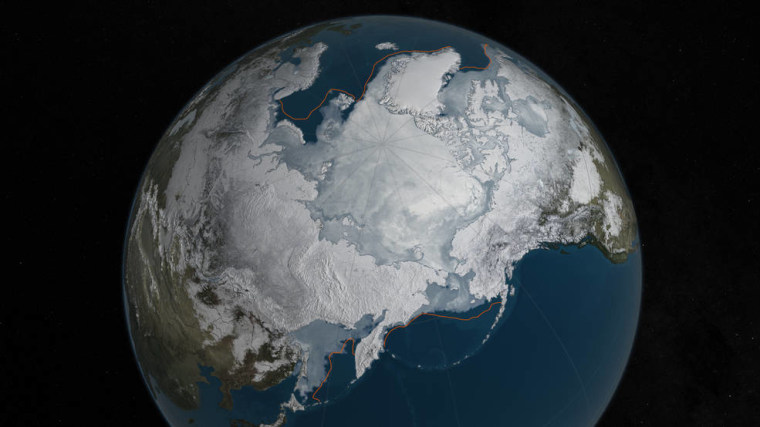
For the second year in a row, Arctic winter sea ice coverage was the lowest it has ever been in the peak-freezing season, which melted away all previous records, according to a top NASA oceanographer.
Dr. Carlos Del Castillo, an oceanographer at NASA, found that while the continental U.S. saw record warm winter weather, nowhere else in the world were the effects of climate change more noticeable than the Arctic.
Del Castillo, the Chief of the Ocean Ecology Laboratory at NASA Goddard Space Flight Center, is especially worried that rising Arctic temperatures are causing ice over Greenland to melt.
“We are tracking temperatures throughout the arctic, and we are finding averages of 10 degrees Fahrenheit and higher,” Del Castillo said in an interview with NBC Latino. “This is much higher than average, and unfortunately the temperatures in the Arctic are still increasing.”
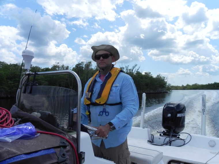
Ever since he began studying the effects of oil pollution in tropical marine environments at the University of Puerto Rico, Del Castillo has made it his life's mission to track natural and human-made changes in the world's oceans. He began working at NASA from 2000 to 2006, and returned three years ago.
Since NASA began tracking sea ice coverage over the Arctic Ocean in 1979, this year’s measurements shattered last year’s record low. Arctic sea ice covered 5.607 million square miles on March 24, which is 5,000 less square miles of coverage than last year — which is roughly the size of Connecticut.
“That changing phase between ice and water happens in a very small range of temperature,” Del Castillo said.

The ice caps help cool the planet like an air conditioner, Del Castillo said. When ice caps begin shrinking, not only are oceans at risk of heating up and rising, less sunlight is reflected back to space by the white ice in the North and South Poles.
RELATED: Arctic Hits Seasonal Low for Sea Ice as Antarctica Sets Record
The ice over Greenland is melting, and that adds to the amount water in the ocean, which contributes to sea level rise. Along with that, higher temperatures make the water itself expand, which increases the volume of the oceans.
“The fact that there are many scientists whose opinion is that we have a couple of meters in sea level rise already locked in, and that we can do nothing about it, makes me worried for people living on the coast,” he said. “In the past 10 years, seven of the record lowest ice expanses were recorded in the Arctic.”
At NASA, Del Castillo uses satellites to track temperature changes in the atmosphere, on land, in the ocean and in the cryosphere — the ice caps. His findings in the Arctic Ocean also affect places thousands of miles away, like the Florida Everglades.
“When you talk about the Arctic ice cover, we also need to talk about the jet stream because it is hugely important to the weather patterns down in Florida,” Del Castillo explained. “Conditions in the Arctic control the position and strength of the jet stream.”
Although the receding Arctic icecap will have a profound impact on rain and snowfall rates throughout the world, Del Castillo said it did not cause this year's El Niño weather pattern in the Pacific Ocean.
"El Niño does not have a lot of connection with what is happening in the arctic in the winter," Del Castillo said. "It is a cyclical phenomenon that appears to be getting stronger. What contributes to the low formation of winter ice is that the air temperatures were higher, and warmer water currents on the edge of the ice that keeps it from freezing more."
As the ice covers less ocean surface, the water warms and evaporates at faster rates, he said. The added humidity creates more rain and snow in other places.
“What happens in the Arctic does not stay in the Arctic,” Del Castillo warned.

