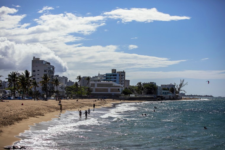
Changes to Puerto Rico's coastline post-Hurricane Maria stand to make communities more prone to flooding, according to a new study.
An estimated 99 kilometers (62 miles) of Puerto Rico's shoreline has moved inland as of July 2018, according to a recent report by the Coastal Research and Planning Institute of Puerto Rico.
Hurricane Maria, a strong Category 4 hurricane, made landfall on Sept. 20, 2017, devastating the U.S. territory.
Researchers also identified 58.19 kilometers (36.2 miles) of dry beaches that have migrated inland.
The map they built shows multiple events of coastal erosion and accretion along the island's beach planes, resulting in a new shore.
"The migration of the coastline and beaches is an important issue that everyone has to urgently address," Maritza Barreto Orta, one of the lead researchers, said in Spanish on Wednesday while presenting the study's findings.
Barreto Orta, a geological oceanographer specializing in coastal erosion, emphasized that failure to keep track of changing shorelines and beaches will result in poor coastal management that could cost lives and damage infrastructure.
About 2.4 million people in Puerto Rico live in coastal towns, Barreto Orta said. Close to 728,000 of these people live in high-risk flood zones.
Inland coastline migration increases the risk and magnitude of flooding for residents in coastal communities, she added.
Puerto Rico currently lacks a detailed protocol for coastal erosion management, according to the study.
Researchers hope public officials use this knowledge to determine the degree of risk their communities may face in the event of another natural disaster, inform future reconstruction and mitigation projects along the coast, and prepare for the effects of climate change.
The Coastal Research and Planning Institute of Puerto Rico conducted its study with the help of a $1.4 million grant from the Federal Emergency Management Agency.

