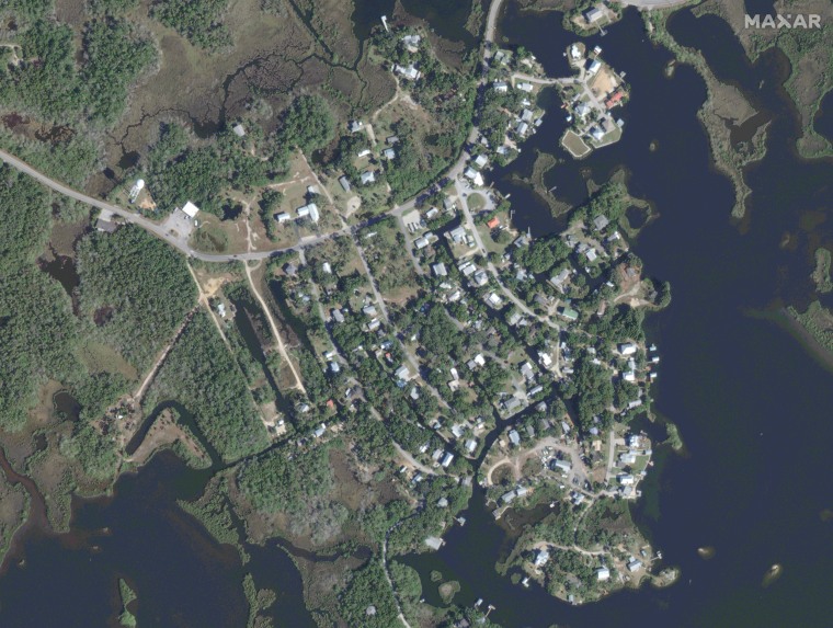
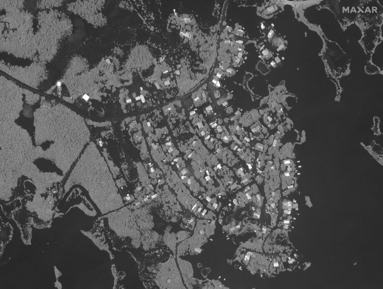
Satellite images illustrate the damage in Florida’s Big Bend where Hurricane Idalia made landfall.
The Category 3 storm made landfall near Keaton Beach with sustained wind speeds topping 125 mph just before 8 a.m. Wednesday.
Idalia flooded streets, downed power lines, snapped trees, destroyed homes and brought activity to a halt for a time Wednesday.
The Big Bend, which is among the most Idalia-battered areas of Florida, is where the peninsula merges into the Panhandle, just southeast of the capital, Tallahassee, and well north of the Tampa metro area.
The National Weather Service in Tallahassee declared the storm “an unprecedented event,” because no major hurricanes on record have ever passed through the bay abutting the Big Bend.
Shortly after landfall, water levels in the Steinhatchee River rose rapidly — surging from 1 foot to 8 feet in just an hour, the National Weather Service said.
As of 8:30 a.m., that meant the river was 2 feet above major flood stage, which is at 6 feet.
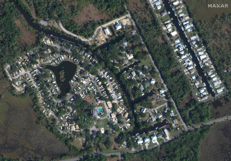
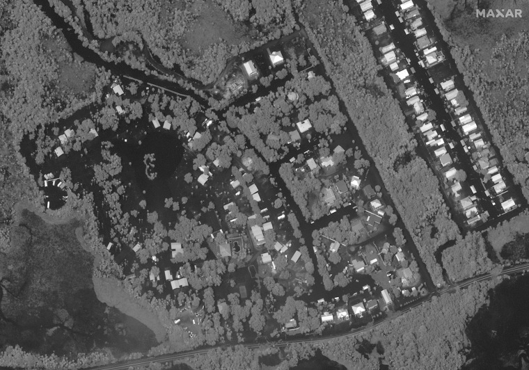
Before and after flooding in Crystal River, Fla.Before and after flooding in Ozello, Fla.
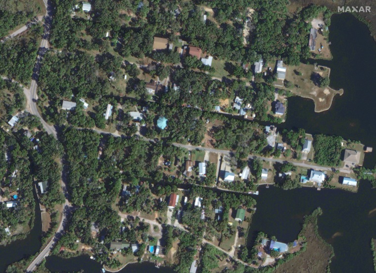
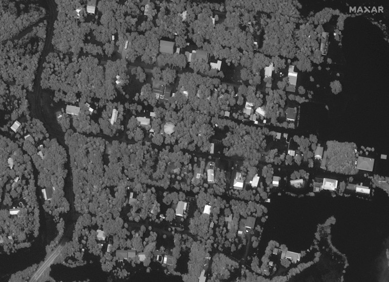
Before and after flooding in Ozello, Fla.
